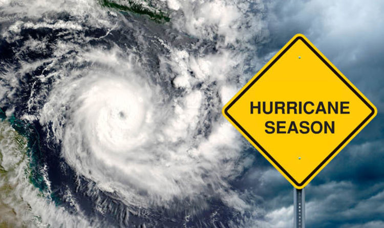
Louisiana Flooding

Flood Risk Abstract: Louisiana

The month of August is not particularly kind to the state of Louisiana. In 2005, Hurricane Katrina and a failed levee left a trail of devastation. Eleven years later, this month, a no-name storm delivered an unrelenting rainfall resulting in flash flood emergencies, an overtopped levee, and widespread flooding throughout southern Louisiana. The Red Cross […]

error-261888_1280

Spot Elevation Certificate Errors to Eliminate Unwarranted Flood Insurance Expenses

The National Flood Insurance Program (NFIP) requires an elevation certificate to certify the elevation and other characteristics of a building to determine an actuarially sound flood insurance rate. Errors or omissions lead insurance agents to misrate flood insurance policies, resulting in liability for the surveyor, insurance agent, and most importantly, property owner. Because of elevation […]

Base-Flood-Elevation

Elevation Certificates: Why You Need Them

Elevation Certificates: Why You Need Them Elevation Certificates are important documents that state the elevation of buildings. In addition to elevation, Elevation Certificates also describe the building location, Lowest Floor Elevation, building characteristics, and flood zone. If your home or business is in a high-risk flood zone, Elevation Certificates are indispensable. One reason why you […]

Houston TX Skyline

Flood Risk Abstract: Houston, TX

Last month in Houston, TX, torrential rains dumped more than 15 inches in some areas.  The following screen capture illustrates the fury of flood warnings in the region on April 18. The severe weather resulted in massive flooding, impassable roads, citizen evacuations, closed schools and crippled businesses. According to local reports, April’s relentless downpour will […]

16697171583_7c33584c4b_b

Understanding the Occurrence of Flooding – What’s in a Name?

By now, given Mother Nature’s wrath over the past year, you’ve no doubt heard plenty of references to 100-year flood events, 500-year flood events and 1,000-year flood events. The description of flooding by the likelihood of occurrence in a geographic area is a predictive measure, commonly used by those in the scientific, emergency management and […]

Bergen County, New Jersey

Elevation News to Manage Flood Risk – Noteworthy Takeaways from Bergen Co., NJ

Elevation plays a critical role in determining flood insurance rates. A couple of feet, a few documentation errors or significant omissions can make a considerable difference in the amount property owners pay for coverage or measures implemented to mitigate flood damage. In Bergen County, New Jersey, FEMA is in the midst of updating the area’s […]

LiDar

LiDAR – The Next Generation of Flood Risk Mapping

FEMA creates and uses flood maps to identify a community’s flood risk. The maps are based on the collection of statistical data (flow, storm tides, hydrologic/hydraulic analyses, rainfall and topographic surveys) that many contend is outdated and inaccurate in the determination of a property’s actual flood risk. And that leads to property owners being ill-prepared […]